FULL PROJECT VIDEO
PROPERTY STORYTELLING FROM THE AIR.
Complete KRYX property coverage for real estate, estates, landowners, and marketing.
SEARCH • WILDLIFE • LAND • INFRASTRUCTURE
Professional thermal, zoom, mapping, recovery, and inspection services using real field data.
KRYX / CAPABILITIES
KRYX is built for clients who need more than a nice drone photo. Every flight starts with an objective and ends with useful information: a location, a condition, a map, a measurement, or a professional deliverable.
02 / WILDLIFE
Thermal and high-zoom aerial tools help cover difficult ground efficiently while limiting unnecessary disturbance. KRYX provides lawful, after-the-shot deer recovery in Ohio and West Virginia only.
DEER RECOVERY SERVICES: OHIO & WEST VIRGINIA ONLY
03 / LAND
Aerial mapping, parcel overlays, access documentation, terrain context, 3D models, and professional marketing media for landowners, investors, outfitters, and real estate professionals.

FULL PROJECT VIDEO
Complete KRYX property coverage for real estate, estates, landowners, and marketing.
04 / INFRASTRUCTURE
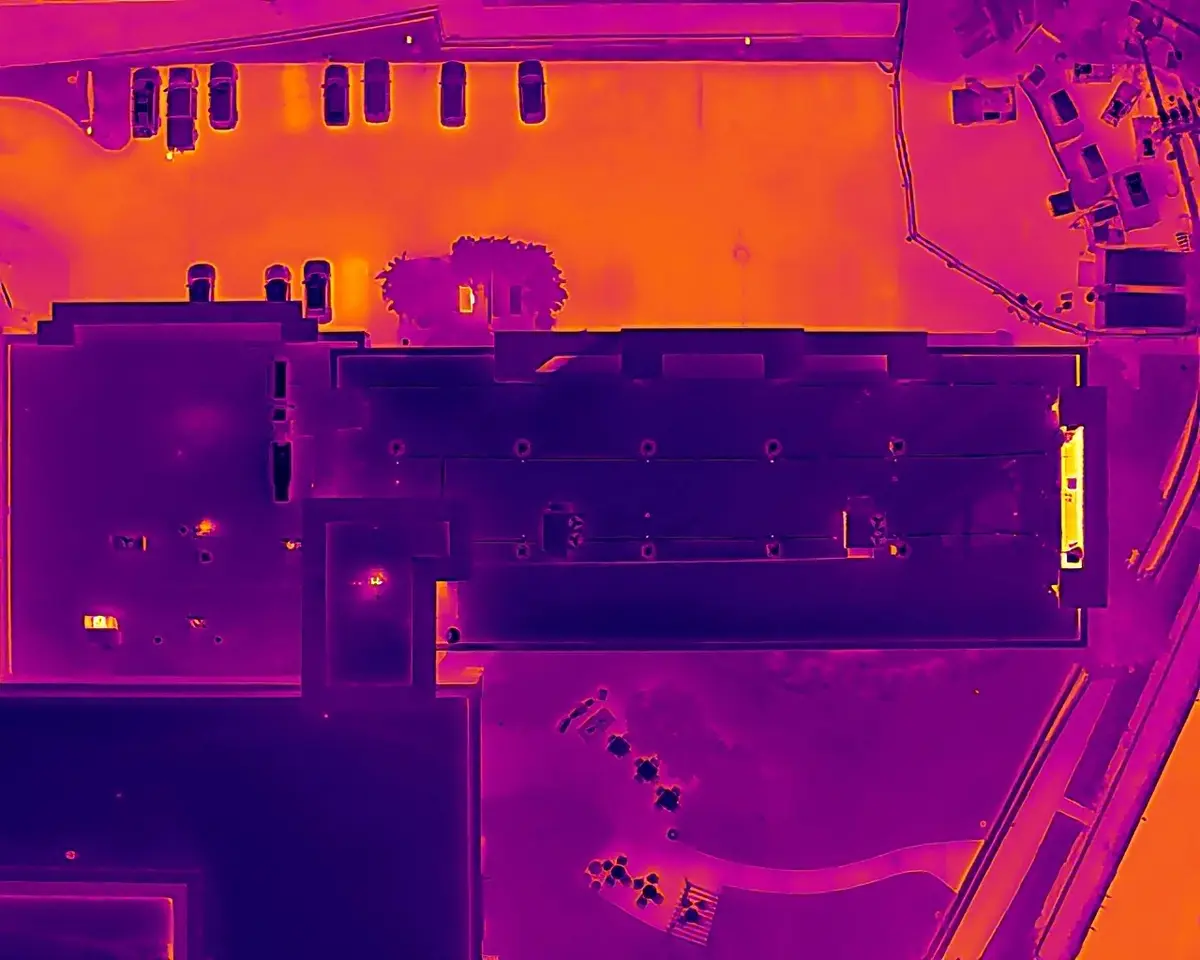
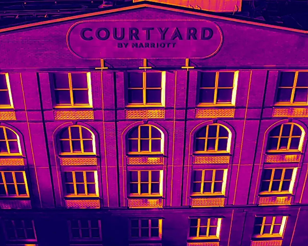
Nationwide high-resolution capture, thermal data, mapping, and annotated reporting for solar, wind, dams, electric utilities, roofs, facades, and commercial assets.
View infrastructure capabilities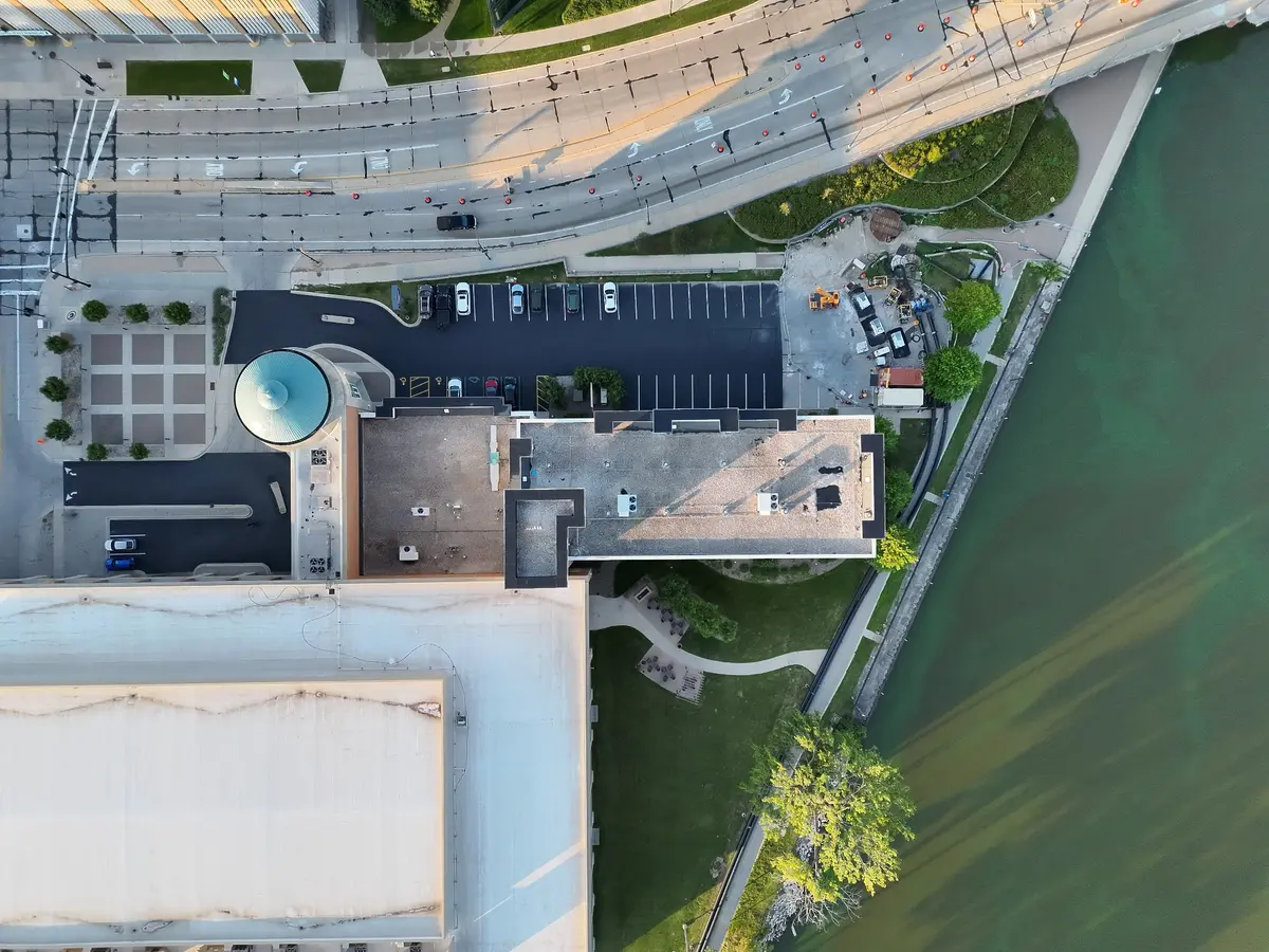
PROFESSIONAL DELIVERABLES
Annotated findings, orientation context, thermal and visible comparisons, and links to supporting media—organized for clear review.
Request sample report
OWNER / CHIEF REMOTE PILOT
KRYX Drone Intelligence is owned and operated by Luke Kramer, an FAA Part 107 remote pilot with extensive experience leading commercial drone operations across construction, mapping, inspection, and aerial data capture.
START WITH THE MISSION
Send the location, objective, and timeline. We’ll determine the right aerial approach and next step.