SOLAR ENERGYResidential, commercial, and utility-scale arrays.
NATIONWIDE AVAILABILITY THERMAL + VISUAL
Decision-ready aerial data for energy, utilities, dams, buildings, and critical assets—captured with thermal, high-resolution visual, zoom, and mapping technology.
Aerial intelligence nationwide
KRYX helps asset owners, contractors, engineering teams, energy companies, and facility managers inspect difficult or expansive infrastructure without relying only on slow, high-risk ground access.
Every mission is built around the client’s objective and required deliverable. Thermal and visible imagery can be matched for context, zoom imagery can document inaccessible components, and mapping workflows can organize site-wide conditions for follow-up.
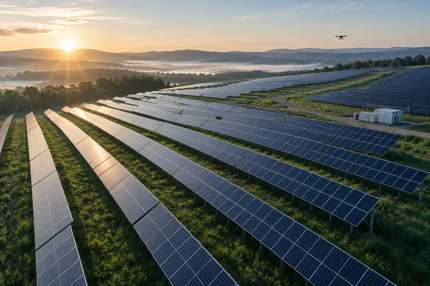
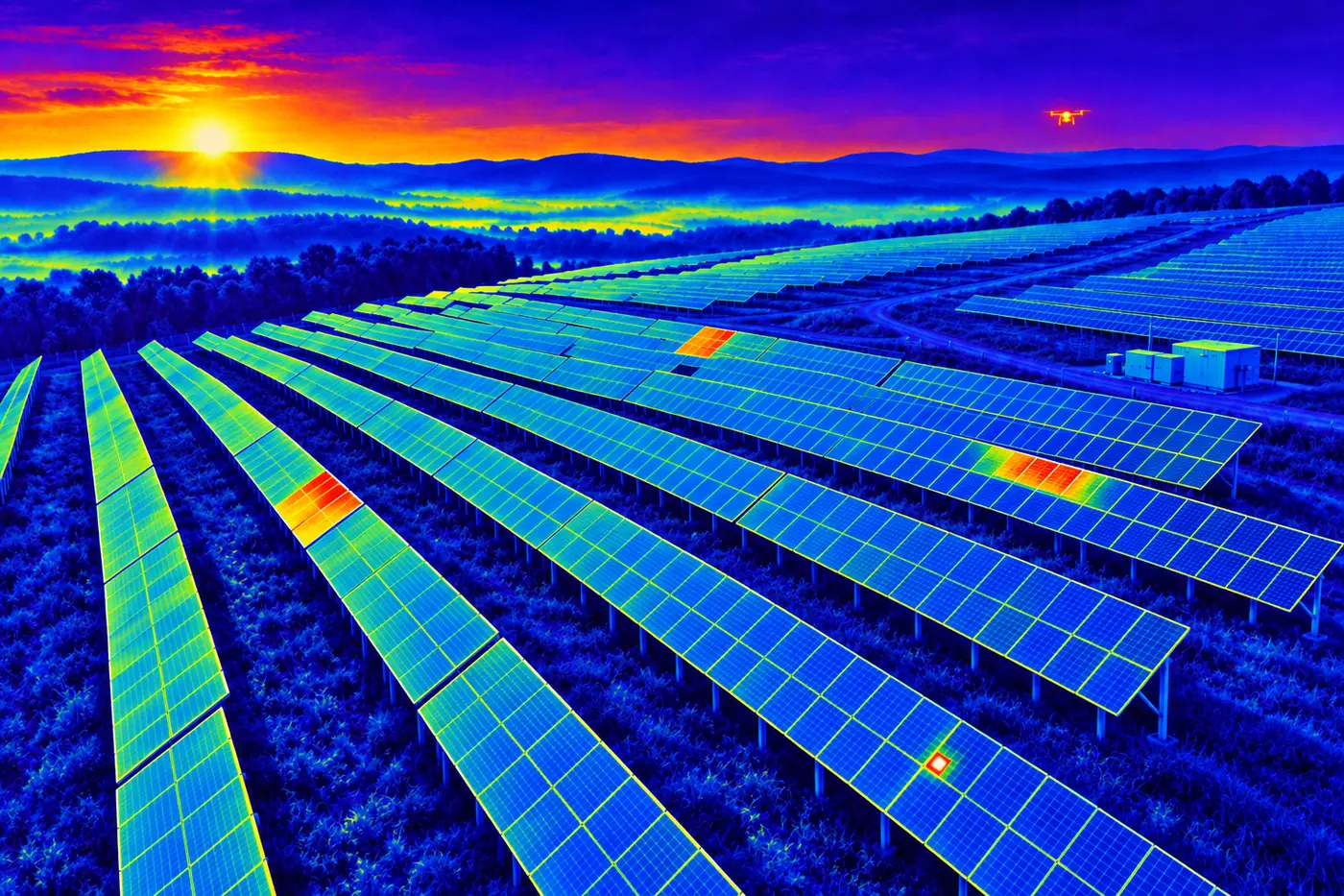
Thermal and visual inspection support for residential rooftop systems, commercial arrays, and utility-scale solar fields. Data can document abnormal thermal patterns, damaged modules, soiling, vegetation, and visible site conditions for qualified follow-up.
High-resolution visual and zoom capture for wind turbine blades, nacelles, towers, foundations, and surrounding site conditions—reducing unnecessary access while documenting areas that require closer evaluation.
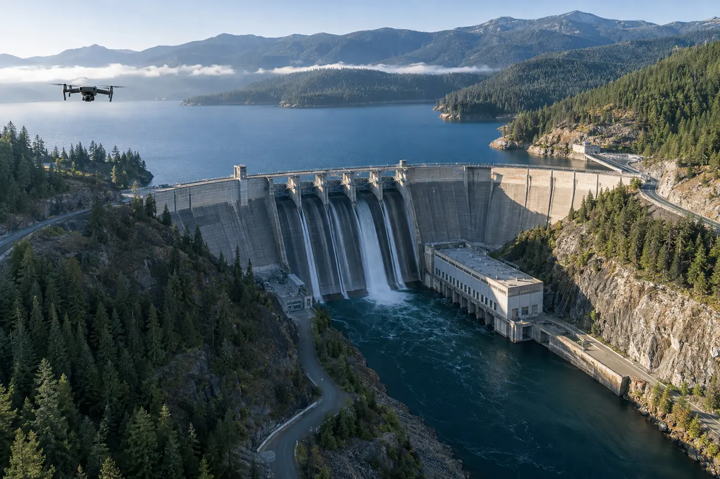
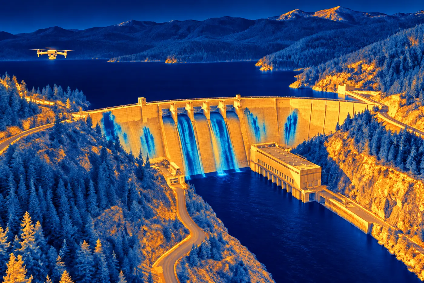
Aerial condition documentation for dam faces, spillways, abutments, embankments, drainage areas, access routes, and related structures using repeatable visual, thermal, and mapping workflows.
Thermal and zoom data collection support for substations, transmission and distribution assets, insulators, connections, poles, corridors, and vegetation conditions—performed within applicable airspace and utility safety requirements.
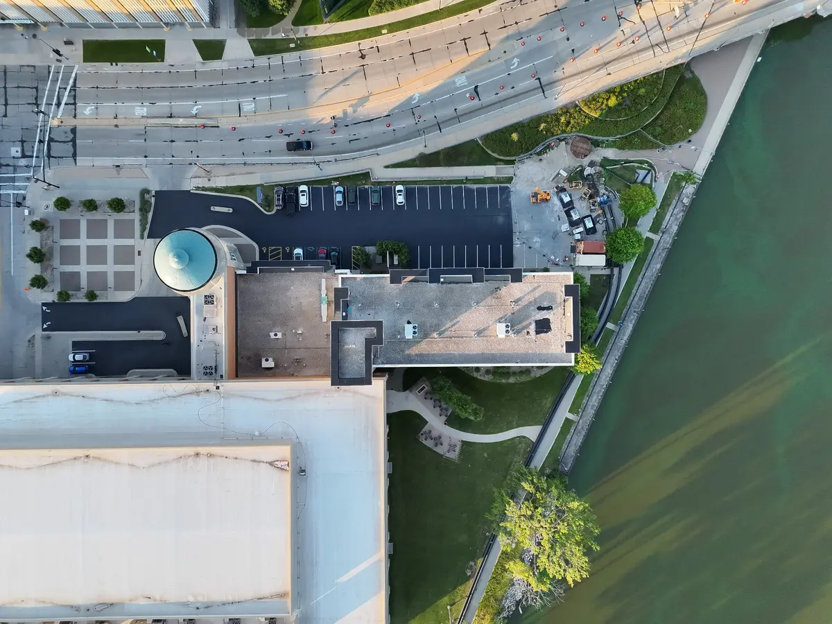
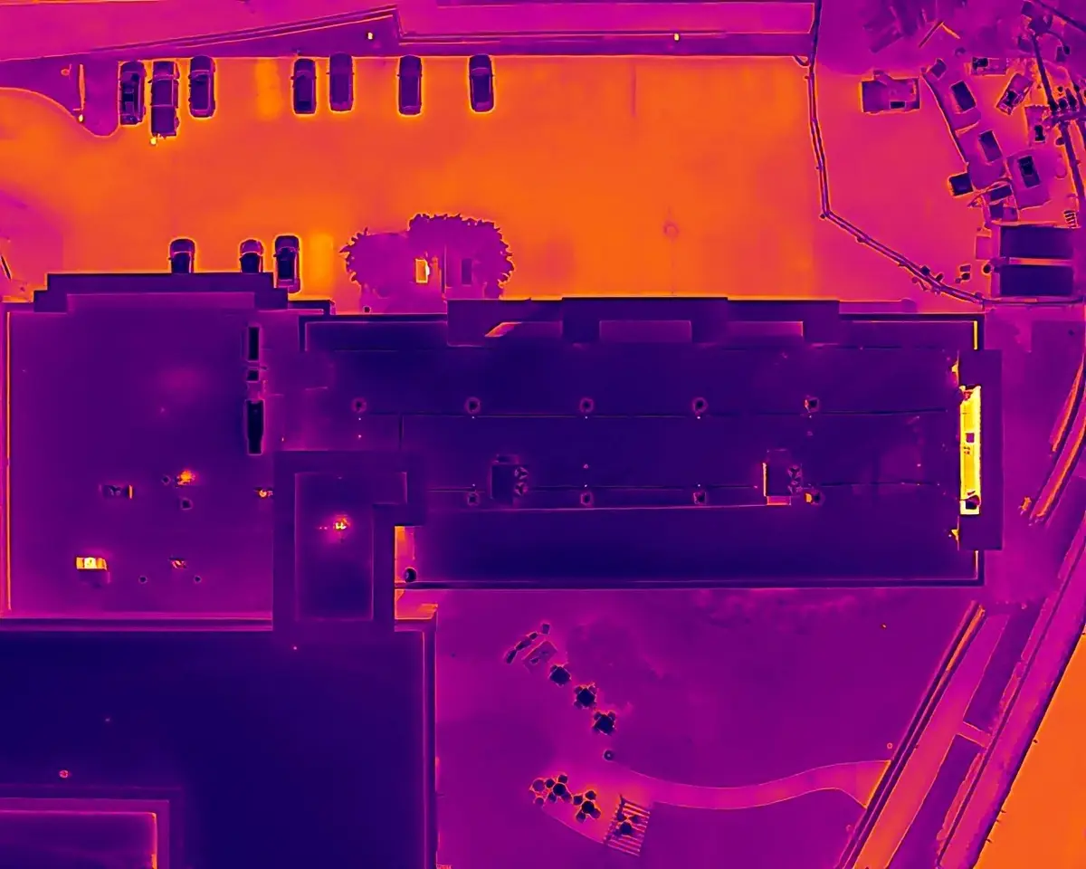
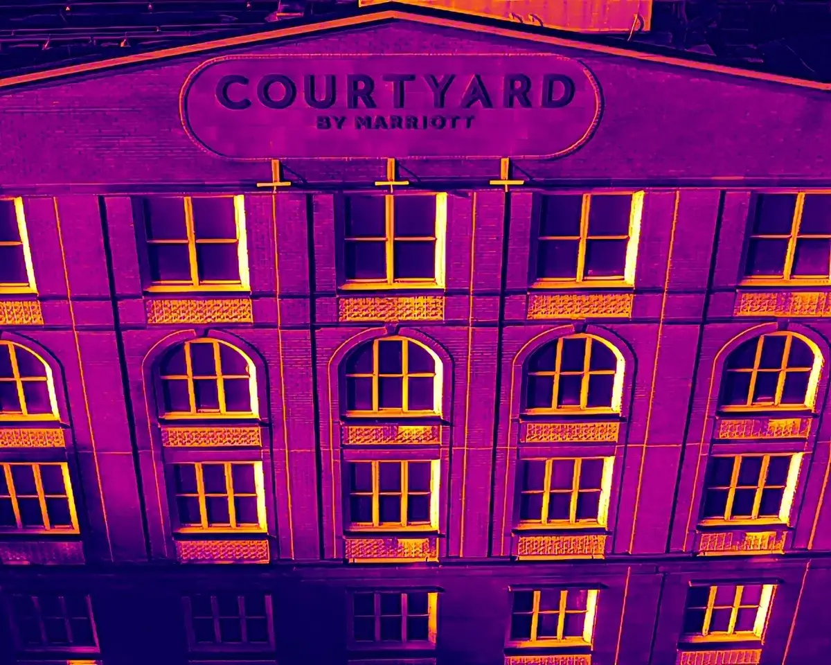
Roof, facade, building-envelope, storm-damage, construction-progress, and thermal anomaly documentation with organized imagery and professional reporting options.
ENERGY + CRITICAL INFRASTRUCTURE
Visible and thermal perspectives support faster review across large, complex, and difficult-to-access infrastructure.


REAL KRYX FIELD DATA
Matched imagery and organized deliverables give clients a clearer record of asset conditions and areas selected for follow-up.
Project planning
Yes. Commercial, industrial, energy, land, and infrastructure projects are available nationwide, subject to scheduling, site access, airspace, weather, and project requirements.
Send the site address or coordinates, asset type, project objective, required coverage, desired deliverables, schedule, access limitations, and any client data standard.
Options include organized visible and thermal imagery, zoom documentation, annotated findings, comparison images, aerial video, orthomosaics, 3D models, and professional PDF reports tailored to the project scope.
Yes. KRYX is available for direct client projects and subcontract field collection, including defined capture plans and client-specific file organization or delivery requirements.
Start with the objective
Provide the site, asset type, timeline, and required data. KRYX will review the mission and recommend the right aerial approach.